We Are Here To Help You Solve Problems, And Reach Your Goals !
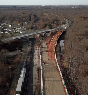
In construction changes happen every day, delays occur, and disputes inevitably arise. All of these issues cost time and money for everyone on the build. Having a clear, visual record of the project’s lifespan can go miles in resolving these unavoidable issues. Documentation is great, but providing photographic backup is an easy and definitive way to increase the accuracy of a project’s records.
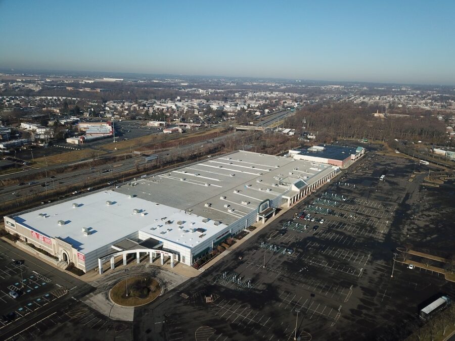
In the real estate industry you often hear the phrase, “location, location, location.” One of the biggest benefits of using drones for real estate is the ability to view the location of a property with respect to nearby attractions, amenities, parks, airports, etc. An aerial perspective is clearly the best way to capture the entirety of this layout
Creating a living record of the overall project can help increase efficiency, accountability, and helps avoid any costly issue that may arise. With a construction photography report, a company can ensure that it’s project information is as accurate as possible.
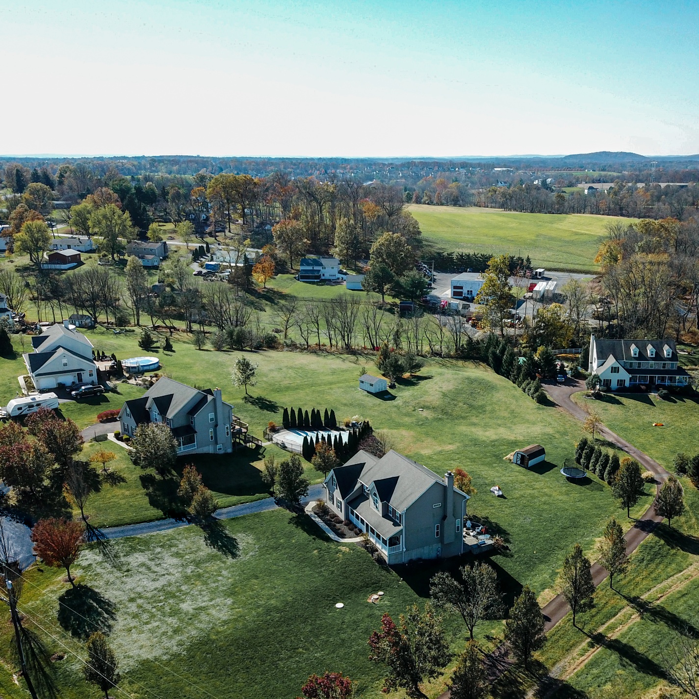
The best way to capture large land parcels and the outside of properties is by air. Cost-effective and time saving, aerial drone photography provides sweeping views of expansive land or water-oriented properties, and gives a birds-eye view above everything. They can show proximity to roadways, other land parcels, shopping centers, and cities.
By employing the use of drones to take aerial images of your real estate properties, you give buyers the chance to be intrigued with these unique views and angles of their potential home. This isn’t something they see very often, so it will certainly pique their interest.